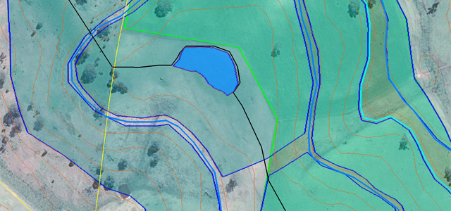
The integration of trees into agricultural landscapes is done in many different ways. One layout that has a lot of practical and aesthetic appeal to even the most ardent of graziers is the savannah. Otherwise known as open grassy woodlands, dehesa (see photo below) and montado these systems are seen…
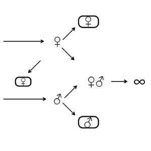
Off the Contour #22 — Producing chickens like cows
by Darren J. Doherty 2016 marked 40 years since Earl Butz (1909-2008) resigned as USA Secretary of Agriculture, however his vision for ‘getting big or getting out’ and ‘planting fence row to fence row’ has continued unabated — as have the terms of trade decline for producers and the decreased…
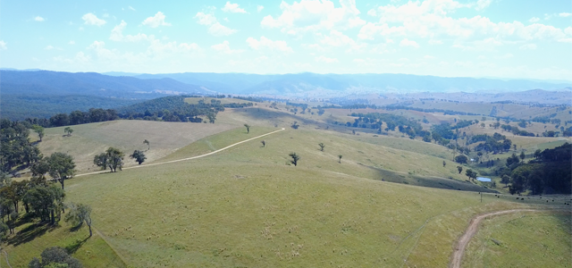
2017 Kicks off at Holston’s Station
We kicked off 2017 with our first farm visit for the year at the 1300ha Holstons Station near Buchan in east Gippsland, Victoria, Australia. The brief is to design build a complete Keyline® landscape using the #RegrariansPlatform. We tested the new DJI #MavicPro — both for getting a bird’s eye view of the site…
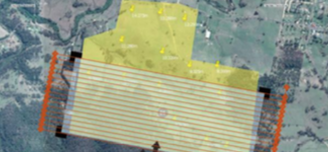
FarmingIT UAV Survey Quote
For many years now we’ve been working with Jo & Martin Peters and their team at FarmingIT near Meredith (Victoria, Australia) who have developed perhaps the most cost-effective professional farm mapping service that Regrarians knows of anywhere in the world. More recently they started offering a UAV (‘Unmanned Aerial Vehicle’) based…

