“…The Regrarians eHandbook 2•Geography chapter has excellent directions for mapping and surveying and is available to purchase for download. It is highly recommended if you are interested in Keyline design…“, Matthew Wilson, Thesis, ‘Perennial Pathways: Planning & Establishment Practices for Edible Agroforestry‘, Masters of Science in Crop Sciences, Thesis, University of Illinois, 2017
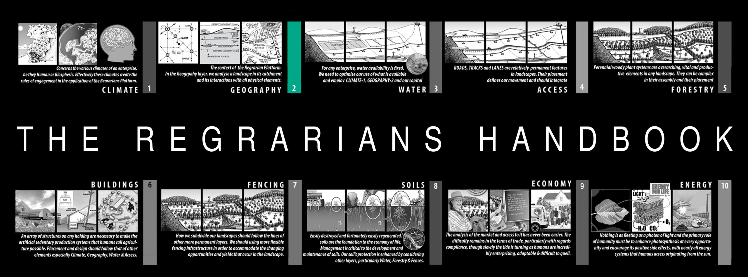
The sections of 2.Geography are as follows:
CARTOGRAPHY:
2.01 Applying the Geography Layer
2.02 Cartography
2.03 GIS/CAD Design
2.04 Topographic/Aerial Base Map
2.05 Cross Sectional Elevations & Relief Models
2.06 Standard Line, Symbol & Hatching Styles
2.07 Page & Paper Sizes
2.08 Geographic Projection
2.09 Elevation Contour Intervals
KEYLINE:
2.10 Geography of Keyline
2.11 Geometry of Keyline
LAND ANALYSIS:
2.12 Land Elements
2.13 Land Capability Classes
SITE ANALYSIS:
2.14 Site Analysis
2.15 Proximity
2.16 Zone Analysis
2.17 Sector Analysis
2.18 Solar Access/Sun Angles
2.19 Catchment Analysis
2.20 Land Capability Assessments (LCA)
SURVEYING:
2.21 Basic Surveying
2.22 Low-Tech Survey Instruments
2.23 Medium-Tech Survey Instruments
2.24 High-Tech Survey Instruments
2.25 Level/GNSS Topographic/Feature Survey
2.26 Dumpy Level Topographic Survey/Set Out
2.27 Total Station/RTK Survey
2.28 Total Station/RTK Set Out
MONITORING:
2.29 Bullseye!
APPENDIX:
2.30 Formulae & Conversions Appendices
References & Further Reading Glossary