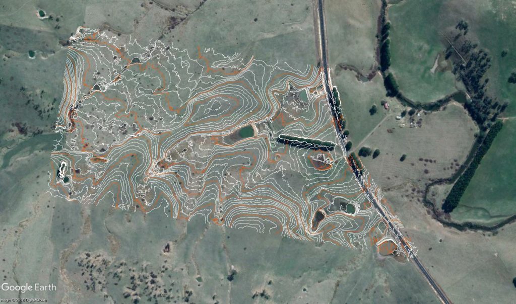
Contours – 0.5 meter with optimization
Following are a combination of 2 recent posts from the ‘Regrarians® Mapping Service‘ page on the Regrarians Workplace in which we talk about what UAV and survey equipment kit people might want to invest in.
What UAV/Survey Kit should I Buy?
UAV – DJI Phantom Pro 4 V.2.0 Option
UAV – DJI Mavic Pro, 2 or 3 Option
• Topcon GMS-2 FC-336 GPS Mount / Range Pole Cradle Bracket (search on eBay) – to mount a phone onto the monopod
As the technology in this realm continues to be updated so too has my own kit and what I would recommend:
• EMLID have also released the Reach M2 RTKGNSS units – these are multi-channel and very portable (20g) and extremely powerful receivers. I am looking to sell my original RS+ units and getting these instead as they smaller (56.4 x 45.3 x 14.6 mm) than a pack of cigarettes.
• Metta Technologies (Peru) have a great kit for housing the Reach M2 unit, complete with its own 10,000mAh battery pack, regulated 5V cooling fan and Multi-band GNSS antenna all built into a anodised aluminium case with 3D printed internals—its 171 x 86 x 86mm and 350g.
We carry all of our kit (Mavic Pro not Phantom) in a Lowepro FASTPACK BP 250 AW II – its about 13kg all up including a 16″ MacBookPro and its charger. We’ve had ours for about 5 years now and its proven to be very durable and flexible for other uses.
This is basically the kit that Regrarians runs, though we have a (2016) DJI Mavic Pro instead of the Phantom as its more portable and suits the kind of travel we undertake. The mechanical shutter of the Phantom puts this unit ahead when it comes to obtaining better quality aerial photography (and photogrammetry) outcomes. That said in our case if we were starting afresh we would probably still go with the new Mavic Pro 2 or 3 and its Hasselblad 20MP camera — primarily because of its portability.
The recommendation of a camera tripod and monopod is also to provide a multiplicity of uses as these units can be used for their original designed purpose.
Whether using a Phantom or Mavic, this kit will suffice to complete low cost aerial and topographic surveys of areas between 1-500ha — whilst also not committing too much capital on kit that will likely become redundant in a relatively short amount of time.
The value of the EMLID Reach kits is now enhanced because of the new stake out feature — enabling users to set out the features that they have created in a plan. This feature alone can save many $1000’s completing more manual set outs.
DJI Phantom 4 RTK & DroneDeploy
The most recent DroneDeploy newsletter had an article about the new DJI Phantom 4 RTK.
Summary points:
- Data captured by the Phantom 4 RTK can be processed in DroneDeploy
- DroneDeploy does not yet support automated flight for the Phantom 4 RTK – though discussions are underway
- Tested accuracy of 1–3 centimetres in X&Y, and 5 centimetres in Z.
This UAV is a great leap forward however it,
“…cannot connect third-party base stations to the Phantom 4 RTK or the remote controller via a radio station. However, you can obtain data from a network RTK server via Ntrip protocol in 4G/Wi-Fi network environment. Satellite observation data can also be saved in the aircraft for users to conduct post processed kinematics (PPK) to complete their tasks…”
Meaning that you have either connect with a Ntrip service or buy a D-RTK 2 Mobile Station for another $6K making the total investment around $13K (including extra batteries and charging kit).
Would this be worthwhile as an alternative to a Phantom 4 Pro/Emlid Reach RS+/RS2 or M2? Great question as the savings in not having to capture GCP’s (or a significantly reduced number) adds up and you can spend more time flying than on the ground.
Furthermore if you want to do set outs then this D-RTK module will not support other RTK units meaning you would still need an additional base station and rover (or rover if you have a Ntrip subscription) — a minimum $0.8-1.6K investment.
My prediction is that there will be more third party add-ons (there already are but their battery life is shite) that will work with both the Mavic and Phantom and third party RTK GNSS equipment like the EMLID kit and others.
